Published in The BANAR April 2007
by Evelyn Budd
In the early 1800’s, a timber limit for the area extending several miles along the Ottawa River and as far south as the Mer Bleue was bought from the government by Mr. Erskine. When the timber was exhausted the land was sold in lots of two hundred acres for farms at 50 cents an acre.

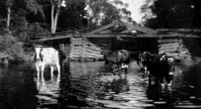
Greens Creek Bridge, circa 1930, located on the Cyrville Road (now called Innes Road near Blair Road). Before the present bridges were built over Mud Creek and Green’s Creek the road dangerously dipped down to the bottom of the ravines. Only one vehicle was allowed to cross at Mud Creek at a time.
The epic feat of the middle Victorian years was the building a new road to Bytown (now Ottawa). It skirted just north of where the Hamlet is now and included a bridge at Green’s Creek near the Montreal Road. There were miles of deep muck, blue clay, swamp and dense bush. The farmers east of the two creeks gave their service free and worked for months in mud. Others unable to work paid into a fund from which labourers were hired.
The shortest distance to Bytown from Blackburn was a path that crossed two deep ravines, Mud Creek and Green’s Creek. (Look for the creeks as you travel on Innes Road between Anderson and Blair Road.) A story I have heard is that my ancestor, John Kemp would carry an axe to mark his trail to Bytown to ensure finding his way home.
The census of 1834 shows that there was a thriving community established in the area. In the course of the area’s existence there were various names — Green’s Creek, Daggville, Blackburn Corners and in 1967 Blackburn Hamlet. Blackburn derives its name from Robert Blackburn, M.P. for Russell, who in the 1880’s went to the Post Office Department to request the establishment of a post office for the settlement.
